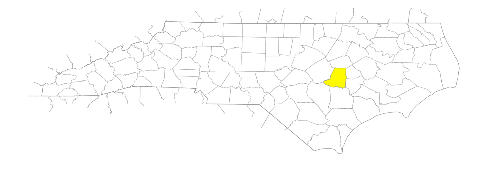
NC Gazetteer

Wayne County

… was formed in 1779 from Dobbs County. Located in the E section of the state, it is bounded by Greene, Lenoir, Duplin, Sampson, Johnston, and Wilson Counties. It was named for Gen. Anthony Wayne (1745-96), Revolutionary War leader. Area: 555 sq. mi. County seat: Goldsboro, with an elevation of 111 ft. Townships are Brogden, Buck Swamp, Fork, Goldsboro, Grantham, Great Swamp, Indian Springs, Nahunta, New Hope, Pikeville, Saulston, and Stony Creek. Produces tobacco, corn, soybeans, wheat, oats, cotton, poultry, dairy products, baked goods, wood products, sweet potatoes, cantaloupes, pickles, hogs, livestock, and cucumbers. See also St. Patrick's Parish.

branches

Burden Branch
Exum Mill Branch
Granny Branch
Johnson Branch
Mill Branch
Watery Branch

campgrounds

Camp Tuscarora

communities

Angle
Beaver Store
Belfast
Best
Beston
Brogden
Cogdell
Dobbersville
Elroy Store
Exum Store
Faro
Genoa
Gradys
Grantham
Greenleaf
Gurley Store
Hardy Store
Hillsboro Store
Hollands Crossroads
Holts Mill
Hood Swamp
Indian Springs
Joyner
Kennedy Crossroads
Lancaster Store
Langston
McClammy
Miller
Nahunta
New Hope
Newsome
Parkstown
Pate Store
Pike Crossroads
Pinkney
Rhoades Academy
Rosewood
Saulston
Starlight
Stevens Mill
Truvine
Walter
Watery Branch
Watson Crossroads

creeks

Beaverdam Creek
Carraway Creek
Falling Creek
Howell Creek
Sleepy Creek
Stony Creek
Walnut Creek
West Bear Creek

former communities

Adamsville
Everittsville
Goldsboro
Jericho
Mount Olive
Vinson Store
Weil

historical markers

Battle Of Whitehall historical marker
Charles B. Aycock historical marker
Cherry Hospital historical marker
Curtis H. Brogden historical marker
Dan Bullock 1953-1969 historical marker
Dobbs County historical marker
Foster's Raid historical marker
General Baptist State Convention historical marker
Gertrude Weil 1879-1971 historical marker
Kenneth C. Royall historical marker
Mount Olive College historical marker
North Carolina Press Association historical marker
North Carolina Railroad historical marker
Nuclear Mishap historical marker
Odd Fellows Home historical marker
Ruth W. Whaley 1901-1977 historical marker
Seymour Johnson Air Force Base historical marker
Sherman's March historical marker
Torhunta historical marker
Waynesborough historical marker
Wm. T. Dortch historical marker

lakes

Gold Park Lake

marshes

Buck Marsh

military bases

Seymour Johnson Air Force Base

millponds

Aycock Millpond
Bizzell Millpond
Coor Millpond
Cox Millpond
Odam Millpond
Rayner Millpond
Sassers Millpond
Smith Millpond
Woods Millpond
Wooten Millpond

necks

Quaker Neck

parishes

St. Patrick's Parish

parks

Cliffs of the Neuse State Park

plantations

Spring Bank

points

West Point

ponds

Bellevedere Pond
Carter Pond
Goldsboro Cooling Pond
Hills Pond

populated places

Waynesborough

rapids

Hogs Falls

regions

Coastal Plain
Coastal Plain Dialect Region

rivers

Little River
Neuse River
Northeast Cape Fear River

schools

Bunn School
Charles B. Aycock High School
Dudley School
Eastern Wayne High School
Edgewood Community Developmental School
Goldsboro High School
Rosewood High School
Shop at Dillard High School
Southern Wayne High School, Dudley
Spring Creek High School
Wayne Early / Middle College High
Wayne Middle / High Academy
Wayne School of Engineering

swamps

Appletree Swamp
Aycock Swamp
Buck Swamp
Ivory Swamp
Ivy Swamp
Moccasin Swamp
Nahunta Swamp
Thoroughfare Swamp
Thunder Swamp
Turner Swamp
Wheat Swamp
Yellow Swamp

towns

Dudley
Eureka
Fremont
Patetown
Pikeville
Seven Springs

townships

Brogden Township
Buck Swamp Township
Fork Township
Goldsboro Township
Grantham Township
Great Swamp Township
Indian Springs Township
Nahunta Township
New Hope Township
Pikeville Township
Saulston Township
Stony Creek Township

waterfalls

Cox's Falls

waterways

Slough, The