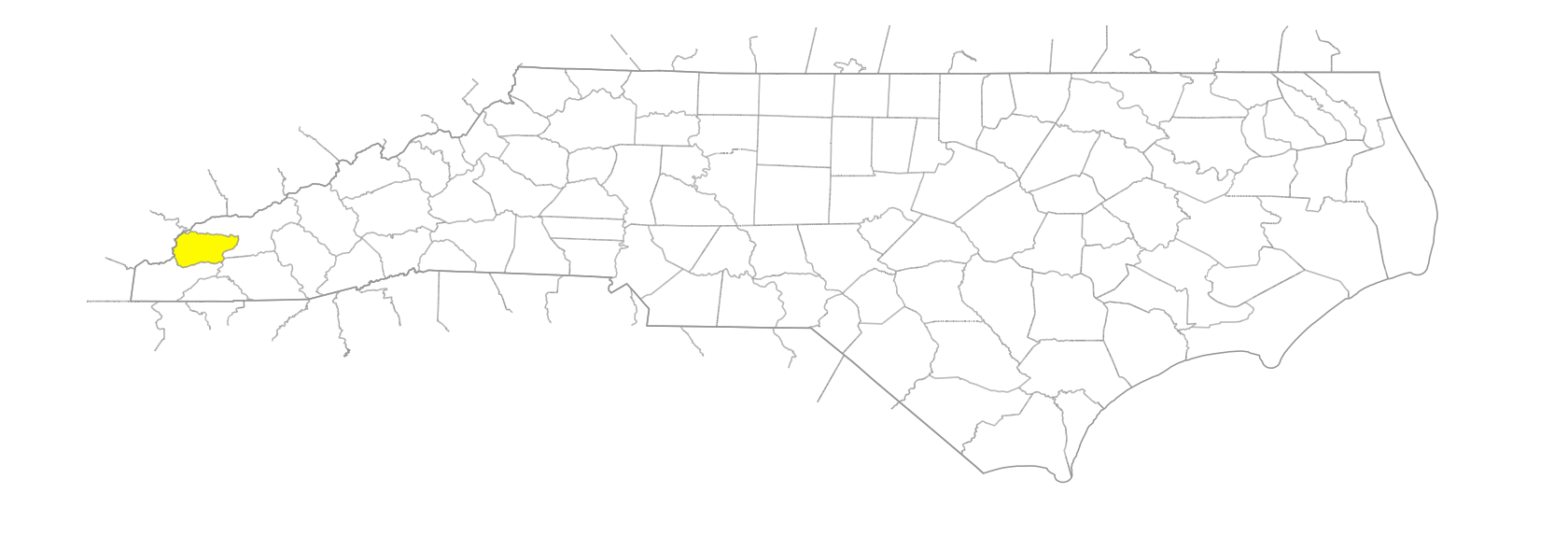
NC Gazetteer

Graham County

… was formed in 1872 from Cherokee County. Located in the W section of the state, it is bounded by the state of Tennessee and by Cherokee and Swain Counties. It was named for William A. Graham (1804-75), U.S. senator, governor of North Carolina, secretary of the navy, and Confederate senator. Area: 299 sq. mi. County seat: Robbinsville, with an elevation of 2,150 ft. Townships are Cheoah, Stecoah, and Yellow Creek. Produces hay, cattle, poultry, livestock, furniture, fish, and lumber.

areas

Long Bottoms

balds

Cheoah Bald
Hooper Bald
Joanna Bald
McDaniel Bald
Stratton Bald
Swim Bald
Teyahalee Bald
Wauchecha Bald

branches

Anderson Branch
Auntery Branch
Cody Branch
Cold Branch
Cook Branch
Farley Branch
Gold Mine Branch
Hooper Branch
Jacks Branch
Johns Branch
Long Branch
Meadow Branch
Ollie Branch
Poison Branch
Tobacco Branch
Whigg Branch
Yellowhammer Branch

communities

Bear Creek
Brock
Cheoah
Dentons
Dobson Hill
Fontana Village
Hidetown
Jutts Creek
McQuires
Milltown
Santeetlah
Stecoah
Sweetgum
Tapoco
Tulula
Tuskeegee
Yellowcreek

coves

Cal Cove
Cedar Cove
Eller Cove
Farley Cove
Foster Cove
Hooper Cove
Horse Cove
Hurricane Cove
Lewellyn Cove
Nelson Cove
Obadiah Cove
Panther Cove
Sam Cove
Welch Cove

creeks

Atoah Creek
Barker Creek
Bear Creek
Bear Creek
Bee Creek
Beech Creek
Bert Creek
Cables Cove Creek
Campbell Creek
Cochran Creek
Deep Creek
Dry Creek
East Buffalo Creek
Fax Creek
Franks Creek
Gladdens Creek
Hangover Creek
Hares Creek
Hooper Mill Creek
Hyde Mill Creek
Jutts Creek
Little Santeetlah Creek
Little Snowbird Creek
Long Creek
Mountain Creek
Rock Creek
Rock Creek
Rock Creek
Rockfield Creek
Santeetlah Creek
Sassafras Creek
Sawyer Creek
Shell Stand Creek
Slickrock Creek
Snowbird Creek
South Fork Beech Creek
Squally Creek
Stecoah Creek
Sweetwater Creek
Tulula Creek
Tuskeegee Creek
West Buffalo Creek
Wolf Creek
Wright Creek
Yellow Creek

depressions

Hickory Basin
Wolf Laurel Basin

forests

Joyce Kilmer Memorial Forest
Nantahala National Forest

former communities

Japan

gaps

Atoah Gap
Barker Road Gap
Bearpen Gap
Bee Gap
Bellcollar Gap
Big Fat Gap
Big Garland Gap
Broke Yoke Gap
Brooks Gap
Brown Fork Gap
Cable Gap
Cable Gap
Calfpen Gap
Carringer Gap
Chestnut Log Gap
Cody Gap
Coldspring Gap
Deep Gap
Deep Gap
Denton Gap
Flint Gap
Glenn Gap
Grassy Gap
Green Gap
Green Gap
Hard Slate Gap
Hickory Gap
Johnson Gap
Jutts Gap
Kirkland Gap
Locust Cove Gap
Locust Licklog Gap
Mauney Gap
Murphy Gap
Obadiah Gap
Oldfield Gap
Peachtree Gap
Porterfield Gap
Red Marble Gap
Saddle Tree Gap
Santeetlah Gap
Seven Springs Gap
Shanty Gap
Snowbird Gap
Stecoah Gap
Sweetwater Gap
Tatham Gap
Tucker Gap
Walker Gap
Walnut Hollow Gap
Water Gap
Wildcat Gap
Yellow Creek Gap
Yellowhammer Gap

geological formations

Mitchell Lick
Nantahala Gorge

groups of islands

Hyde Islands

historical markers

Fontana Dam historical marker
Junaluska ca. 1779-1858 historical marker

islands

Calhoun Island
Higgens Island

knobs

Bear Knob
Bee Cove Knob
Bee Knob
Big Knob
Chestnut Knob
Cold Spring Knob
Cooper Knob
Eagle Knob
Haw Knob
Hazanet Knob
Huckleberry Knob
Johns Knob
Little Elk Knob
Little Haw Knob
Little Huckleberry Knob
Mouse Knob
Perry Knob
Pinnacle Knob
Rock Creek Knob
Strawberry Knob
Tommy Knob
Tyre Knob
White Oak Knob
Wildcat Knob
Willie Knob

lakes

Fontana Lake
Lake Cheoah
Santeetlah Lake

mountain features

Bee Cove Lead
Bert Creek Lead
Caney Lead
Franks Creek Lead
Hangover Lead
Haoe Lead

mountain ranges

Cheoah Mountains
Snowbird Mountains
Unicoi Mountains
Yellow Creek Mountains

mountains

Big Junction
Buzzard Roost
Deep Gap Mountain
Hanging Dog Mountain
Hangover Mountain
Haoe
Hogback Mountain
Jump-up, The
Meetinghouse Mountain
Rockstack

Native American settlements

Qualla Boundary

regions

Appalachian Dialect Region

reserves

Santeetlah Wildlife Management Area

ridges

Art Stewart Ridge
Axe Ridge
Burnt Rock Ridge
Deerlick Ridge
Doc Stewart Ridge
Firescald Ridge
Firescald Ridge
Fork Ridge
Fork Ridge
Horse Cove Ridge
Horse Range Ridge
Isinglass Ridge
Nolton Ridge
Pine Ridge
Queen Ridge
Sassafras Ridge
Teeseteska Ridge
Whiteoak Limb Ridge

rivers

Cheoah River
Little Tennessee River
Nantahala River

schools

Robbinsville High School

tops

Cedar Top
Dillard Top
Funnel Top
Grassy Top
High Top
Laurel Top
Old Billy Top
Old Mattie Top
Panther Flat Top
Poplar Spring Top
Rocky Spring Top
Round Top
Snowbird Top

towns

Robbinsville

townships

Cheoah Township
Stecoah Township
Yellow Creek Township

trails

Haoe Trail

transportation-related places

Rattler Ford

waterfalls

Big Falls
Lower Falls
Middle Falls
Sassafras Falls
Upper Falls