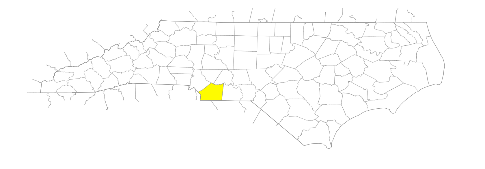
NC Gazetteer

Union County

… was formed in 1842 from Anson and Mecklenburg Counties. Located in the S central section of the state, it is bounded by the state of South Carolina and by Mecklenburg, Cabarrus, Stanly, and Anson Counties. At the time the county was formed, there was a dispute between local Whigs and Democrats as to whether it should be named Clay or Jackson. The name Union was suggested and adopted as a compromise and because the new county was created from parts of two others. Area: 643 sq. mi. County seat: Monroe, with an elevation of 576 ft. Townships are Buford, Goose Creek, Jackson, Lanes Creek, Marshville, Monroe, New Salem, Sandy Ridge, and Vance. Produces oats, wheat, corn, cotton, lespedeza, poultry, turkeys, hogs, dairy products, livestock, textiles, apparel, bricks, pipes, processed meat, industrial machinery, wood products, asbestos, and crushed stone.

branches

Bull Branch
Cool Spring Branch
Flag Branch
Goodman Branch
Maple Spring Branch
Nelson Branch
Parkers Branch
Russell Branch
Simpson Branch
Tobacco Branch
Wallace Branch

cities

Monroe

communities

Adlai
Albans
Altan
Bakers
Baucoms
Brief
Cleone
Coburn's
Dester
Doster
Fairfield
Fairview
Faulk
Fountain Hill
Hamiltons Crossroads
Heath
Hembys Bridge
Honey
Houston
Jackson
Judith
Lake Park
Lane's Creek
Long's Store
Love's Level
Marvin
McCains
Morgan's Mills
Negrohead
New Salem
Oakgrove
Olive Branch
Poorlith
Potter
Price's Mill
Raywood
Reuben
Richardson Creek
Rock Rest
Rushing
Shute
Sincerity
Stallings
Stouts
Sturdivants Cross Roads
Trinity
Vann
Walkersville
Walkeys
Walkup
Waterloo
Weddington
Wesley Chapel
Wolf Pond
Wolfsville

creeks

Bearskin Creek
Chinkapin Creek
Crooked Creek
Duck Creek
East Fork Twelvemile Creek
Gourdvine Creek
Grassy Creek
Gum Log Creek
Gumlog Creek
Little Brown Creek
Little Richardson Creek
Lynches Creek
Mill Creek
North Fork Crooked Creek
Polecat Creek
Salem Creek
South Fork Crooked Creek
Stevens Creek
Stewarts Creek
Twelvemile Creek
Watson Creek
Waxhaw Creek
West Fork Twelvemile Creek

forks

Rays Fork

former communities

Gibraltar
West Monroe
Winchester

former mines

Black Mine
Howie Mine

historical markers

A. R. Newsome 1894-1951 historical marker
Andrew Jackson historical marker
Camp Sutton historical marker
Cornwallis historical marker
David F. Houston historical marker
Davie's Attack historical marker
Ferdinand Foch historical marker
John J. Parker 1885-1958 historical marker
Lt. Samuel I. Parker historical marker
Pleasant Grove Camp Ground historical marker
T. Walter Bickett historical marker
Trading Path historical marker
Wingate University historical marker
Wm. Henry Belk 1862-1952 historical marker

lakes

Lake Monroe

millponds

Steward Millpond

regions

Piedmont Dialect Region
Waxhaws, The

schools

Central Academy of Technology and Arts
Cuthbertson High School
Forest Hill High School
Laney School
Marvin Ridge High School
Monroe High School
Parkwood High School
Piedmont High School
Porter Ridge High School
South Providence School
Sun Valley High School
Union Academy
Union County Early College
Weddington High School
Wolfe School

towns

Benton Heights
Indian Trail
Marshville
Mineral Springs
Unionville
Waxhaw
Wingate

townships

Buford Township
Goose Creek Township
Jackson Township
Lanes Creek Township
Marshville Township
Monroe Township
New Salem Township
Sandy Ridge Township
Vance Township

transportation-related places

Dry Ford
Kennedy Ford
Loves Ford
Morgan Mills Ford
Plank Ford