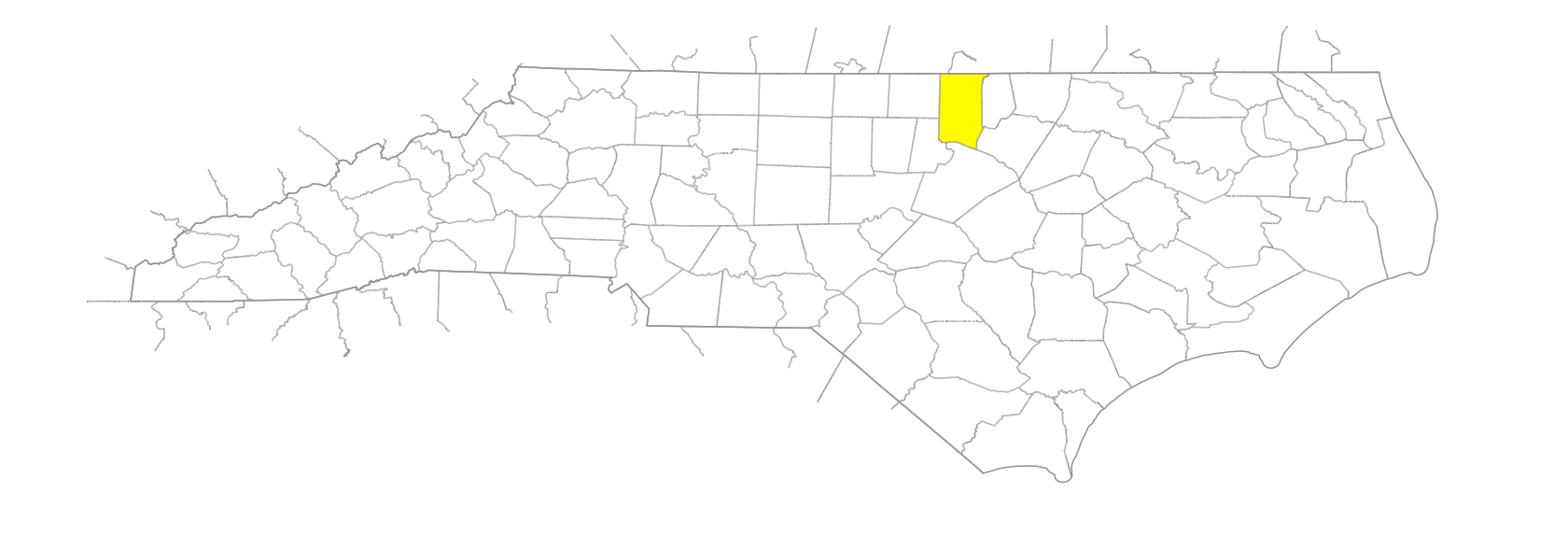
NC Gazetteer

Granville County

… was formed in 1746 from Edgecombe County. Located in the NE section of the state, it is bounded by Vance, Franklin, Wake, Durham, and Person Counties and by the state of Virginia. It was named for John Carteret, Earl Granville (1690-1763), owner of the Granville District, which see, in which the new county was located. Area: 543 sq. mi. County seat: Oxford, with an elevation of 476 ft. Townships are Brassfield, Dutchville, Fishing Creek, Oak Hill, Oxford, Salem, Sassafras Fork, Tally Ho, and Walnut Grove. Produces tobacco, corn, oats, wheat, hay, sweet potatoes, poultry, livestock, hogs, dairy products, cosmetics, wood products, machinery, lumber, and apparel.

areas

Hurricane, The

bodies of water

Island Creek Reservoir

branches

Deer Pond Branch
Foundry Branch
Graham Branch

businesses or business districts

Holloway Mines

communities

Adoniram
Allen's Crossroads
Belltown
Bennehan
Berea
Blue Wing
Bluewing
Bragg Crossroads
Brownsville
Buchanan
Bullock
Butner
Caltolina
Carlton
Center Grove
Clay
Cokes
Cornwall
Country Line
Cozart
Culbreth
Dexter
Dickerson
Elerbe
Fairport
Gela
Goshen
Gradins Station
Grassy Creek
Gregory's Mill
Grissom
Hebron
Hester
Horner
Huntsboro
Jeffreys
Jonathan Crossroads
Kinton Forks
Lewis
Lyons
Mount Energy
Noblin
Northside
Oak Hill
Pleasants
Providence
Satterwhite
Shoofly
Sunset
Tally Ho
Tar River
Tranquility
Whetstone
Wilkins
Wilton
Zacho

creeks

Aarons Creek
Adcock Creek
Aycock Creek
Bearskin Creek
Beech Creek
Blue Creek
Boulding Creek
Camp Creek
Cattail Creek
Cedar Creek
Coon Creek
Dickens Creek
Fishing Creek
Fort Creek
Fox Creek
Gibbs Creek
Goose Neck Creek
Grassy Creek
Howlett Creek
Jackson Creek
Johnson Creek
Johnson Creek
Jonathan Creek
Jordan Creek
Knap of Reeds Creek
Ledge Creek
Little Grassy Creek
Little Ledge Creek
Mountain Creek
Owen Creek
Picture Creek
Poplar Creek
Robertson Creek
Rocky Creek
Sand Creek
Shelton Creek
Spewmarrow Creek

districts

Abraham's Plains

forks

Crooked Fork

former communities

Knap of Reeds
Pattonsville

historical markers

Camp Butner historical marker
Central Orphanage Of North Carolina historical marker
Harris Meeting House historical marker
Henry P. Cheatham 1857-1935 historical marker
Henry Pattillo 1726-1801 historical marker
Horner Military School historical marker
James E. Webb historical marker
John Penn 1740-1788 historical marker
Mary Potter Academy historical marker
Nathaniel Rochester 1752-1831 historical marker
Oxford Female College historical marker
Oxford Orphanage historical marker
Thomas Person historical marker
Trading Path historical marker
Tungsten Queen historical marker

lakes

Beaver Dam Lake
Creedmoor Lake
Lake Devin

mines

Bluewing Mine

parishes

Granville Parish

regions

Piedmont Dialect Region
VA Piedmont Dialect Region

rivers

Neuse River
North Fork Tar River

runs

Bollens Run
Hatcher's Run

schools

Bonnie Springer School
Falls Lake Academy
Granville Central High School
Granville Early College High
J. F. Webb High School
Oxford Preparatory
Phoenix Academy
South Granville High School
The Whitaker School PRTF

towns

Creedmoor
Oxford
Stem
Stovall
Virgilina

townships

Brassfield Township
Dutchville Township
Fishing Creek Township
Oak Hill Township
Oxford Township
Salem Township
Sassafras Fork Township
Tally Ho Township
Walnut Grove Township