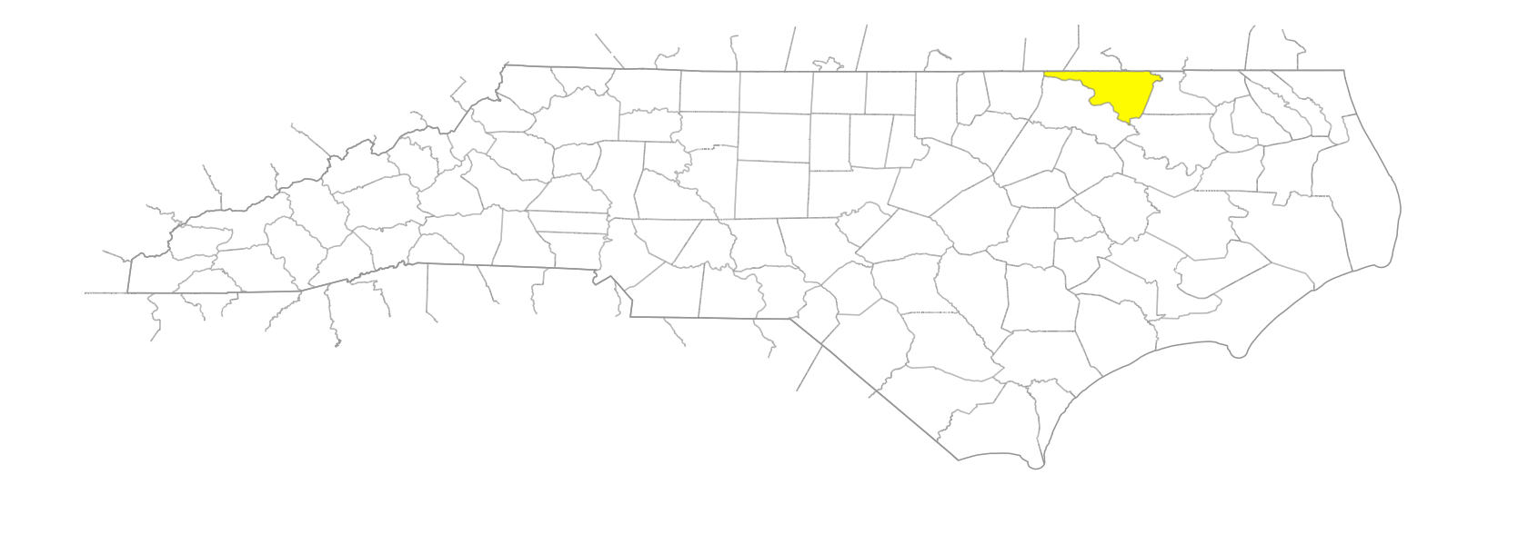
NC Gazetteer

Northampton County

… was formed in 1741 from Bertie County. Located in the NE section of the state, it is bounded by the state of Virginia and by Hertford, Bertie, Halifax, and Warren Counties. It was named for James Compton, Earl of Northampton (1687-1754). Area: 544 sq. mi. County seat: Jackson, with an elevation of 131 ft. Townships are Gaston, Jackson, Kirby, Oconeechee, Pleasant Hill, Rich Square, Roanoke, Seaboard, and Wiccacanee. Produces peanuts, corn, soybeans, chemicals, sorghum, cotton, hogs, livestock, lumber, apparel, sand, and gravel.

areas

Stuards Reach

branches

Dogwood Branch
Grant Branch
Hunting Branch
Maple Fork Branch
Reedy Branch

communities

Boones Crossroads
Boons Fork
Bryantown
Bull Hill
Cedar Forks
Conwell
Creeksville
Diamond Grove
Drakes Crossroads
Dusty Hill
Eagletown
Edwards Crossroads
Faisons Old Tavern
Galatia
George
Gum Forks
Gumberry
Henrico
Ingram
Lassiters Crossroad
Lewters Crossroads
Meherrin
Mowfield
Mud Castle
Newton
Oak Grove
Pin Hook
Pleasant Grove
Pleasant Hill
Potecasi
Rehoboth
Rogers
Turner Crossroads
Vultare

creeks

Ahoskie Creek
Arthurs Creek
Beaverpond Creek
Black Gut Creek
Bridgers Creek
Cypress Creek
Deep Creek
Ivy Creek
Kirbys Creek
Lees Creek
Lily Pond Creek
Occoneechee Creek
Paddys Delight Creek
Pea Hill Creek
Potecasi Creek
Ramsey Creek
Troublefield Run Creek
Wheeler Creek

former communities

Gaston

historical markers

Allen Jones historical marker
Bernice Kelly Harris 1891-1973 historical marker
Boon's Mill historical marker
Cornwallis historical marker
First Railroad historical marker
George V. Holloman 1902-1946 historical marker
Henry K. Burgwyn historical marker
Lemuel Burkitt historical marker
Matt W. Ransom historical marker
Paul H. Rose 1881-1955 historical marker
Rich Square Monthly Meeting historical marker
Roanoke River historical marker
Sir Archie historical marker
Thomas Bragg historical marker

historical sites

Camp Hill

islands

Baker Island
Harwells Island
Locketts Island
Smallwood Island
Tucker Island

lakes

Stephenson's Lake

mountains

Mount Gallant

necks

Occoneechee Neck

pocosins

Edwards Pocosin

ponds

Barrows Mill Pond
Beals Mill Pond
Boon's Mill Pond
Bull Hill Mill Pond
DeBerry's Mill Pond
DeLoatche's Mill Pond
Doolittle Mill Pond
Jordans Mill Pond
Taylors Mill Pond
Worrell Mill Pond

regions

Coastal Plain
Coastal Plain Dialect Region
VA Piedmont Dialect Region

rivers

Little River
Meherrin River
Roanoke River

runs

Jimmies Run
Sandy Run

schools

Gaston College Preparatory
Gaston School
Ivey School
Jackson Graded School
Jonesboro School
Meherrin School
Potecasi School

swamps

Bear Swamp
Canal Swamp
Corduroy Swamp
Cutawhiskie Swamp
Gumberry Swamp
Jack Swamp
Jacks Swamp
Panther Swamp
Quarter Swamp
Rogers Swamp
Urahaw Swamp
Wildcat Swamp

towns

Conway
Garysburg
Gaston
Hawns
Jackson
Lasker
Margaretsville
Milwaukee
Pendleton
Princeton
Rich Square
Seaboard
Severn
Woodland

townships

Gaston Township
Jackson Township
Kirby Township
Occoneechee Township
Pleasant Hill Township
Rich Square Township
Roanoke Township
Seaboard Township
Wiccacanee Township