Batts Island
Also known as: Bats Grave, Hariots Island, Heriots Island
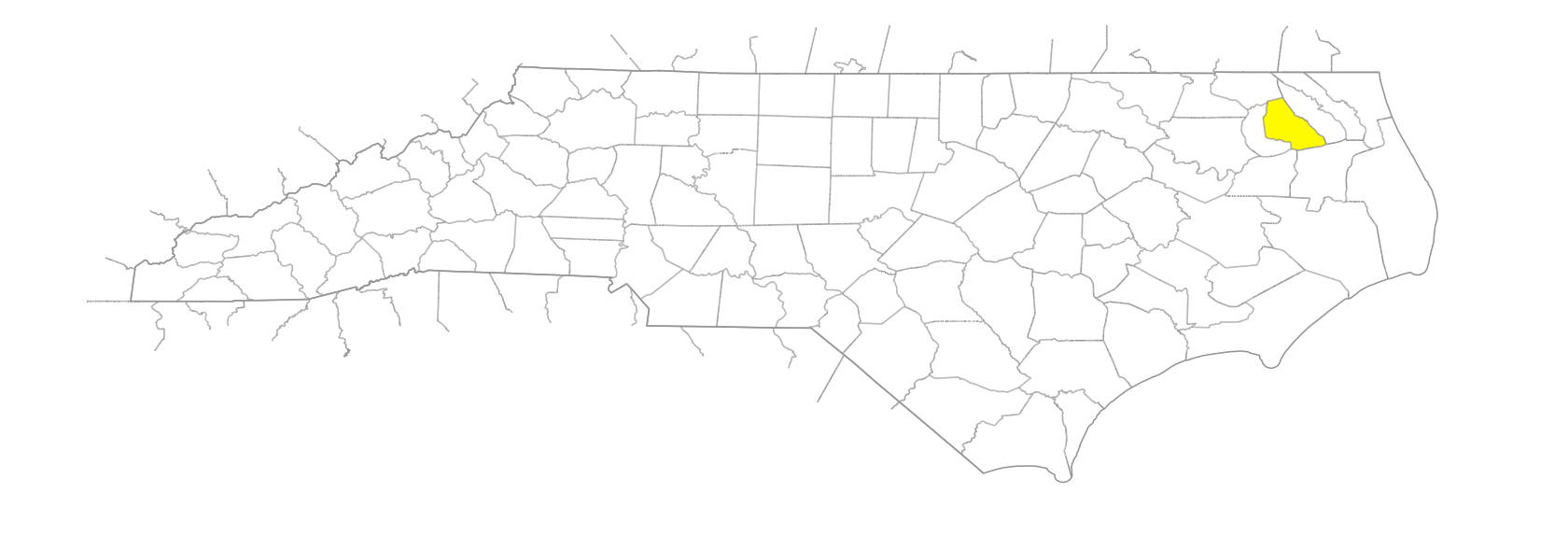
… former island in Albemarle Sound near the mouth of the Yeopim River, SW Perquimans County. Named for Nathaniell Batts, who acquired property in the area, September 24, 1660. It is mentioned in local records as early as 1694. In 1749 it was 40 acres in area and had houses and orchards on it; by 1756 it had been reduced to 27 acres. Early in the twentieth century it was a campsite for fishermen, but later it was reduced to a mud flat with a few dead trees. A hurricane in the 1950s completely destroyed the island. Appears as Heriots Island, probably for Thomas Hariot (1560-1621), on the Smith map, 1624; as Hariots Island on the Comberford map, 1657: and as Bats Grave on the Moseley map, 1733, and the Collet map, 1770.