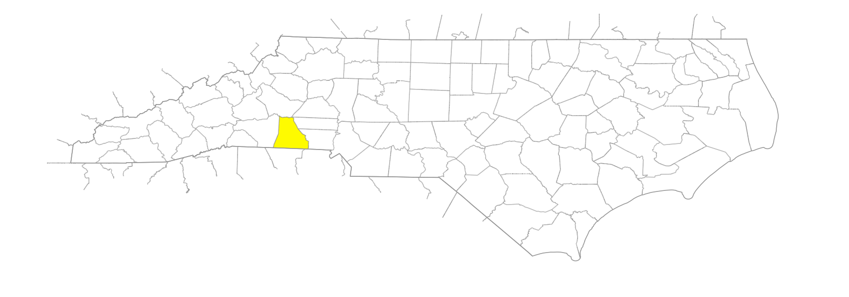
NC Gazetteer

Cleveland County

… was formed in 1841 from Rutherford and Lincoln Counties. Cleaveland was originally used, but the present spelling was adopted in 1887. In the SW section of the state, it is bounded by the state of South Carolina and by Rutherford, Burke, Lincoln, and Gaston Counties. It was named for Col. Benjamin Cleveland (1738-1806), noted partisan leader of the W frontier and one of the heroes of the Battle of Kings Mountain. Area: 466 sq. mi. County seat: Shelby, with an elevation of 85 ft. Townships, now numbered 1 to 11, were formerly River, Boiling Springs, Rippys, Kings Mountain, Warlick, Shelby, Sandy Run, Polkville, Double Shoals, Knob Creek, and Casar. Produces wheat, oats, corn, dairy products, hogs, livestock, poultry, soybeans, nursery products, squash, honey, glass products, textiles, bakery products, limestone, and mica.

bays

Bardins Bay

branches

Adams Branch
Diller Branch
Dixon Branch
Grassy Branch
Jolly Branch
Jones Branch
Long Branch
Poplar Branch
Roberts Branch
Willis Branch
Wolf Branch
Yancey Branch

cities

Kings Mountain
Shelby

communities

Autro
Beam Mill
Belwood
Byarsville
Cabot
Camp Call
Darfer
Double Shoals
Durbro
Eakers Corner
Elbethel
Fancy
Hollybush
Knobcreek
Kossie
Lacky Crossroads
Long Branch
Margrace
Memory
Metal
Milligan
Mooresboro
New House
Oakgrove
Olive Grove
Park Yarn
Patterson Springs
Polkville
Rockdale
Schencks Station
Sharon
Stice
Stony Point
Stubbs
Toluca
Turner Crossroads
Washburn

creeks

Ashworth Creek
Bald Knob Creek
Barnes Creek
Bear Creek
Beason Creek
Beaverdam Creek
Big Harris Creek
Brier Creek
Brushy Creek
Brushy Creek
Camp Creek
Cox Creek
Grog Creek
Hickory Creek
Kings Creek
Knob Creek
Little Buffalo Creek
Little Harris Creek
Little Hickory Creek
Little Knob Creek
Little Persimmon Creek
Long Creek
Magness Creek
Maple Creek
Mayne Creek
No Business Creek
Persimmon Creek
Potts Creek
Poundingmill Creek
Sandy Run Creek
Shoal Creek
Tim Creek
Tuck Creek
Ward Creek

dams

Stice Dam

forks

Muddy Fork

former communities

Boiling Springs Township
Casar Township
Double Shoals Township
Kings Mountain Township
Knob Creek Township
Polkville Township
Rippys Township
Sandy Run Township
Shelby Township
Warlick Township

gaps

Dixon Gap
Leman Gap
Stepps Gap
Ward Gap

hills

Flint Hill

historical markers

Battle of Kings Mountain historical marker
Clyde R. Hoey historical marker
Cornwallis historical marker
Gardner-Webb University historical marker
Graham's Fort historical marker
Kings Mountain Battleground historical marker
Mount Harmony United Methodist Church historical marker
North Carolina-South Carolina historical marker
O. Max Gardner 1882-1947 historical marker
Patrick Ferguson historical marker
Plato Durham historical marker
Thomas Dixon, Jr. 1864-1946 historical marker
W. J. Cash 1900-1941 historical marker

knobs

Benn Knob
Buffalo Knob
Camp Knob
Carpenter Knob
Old Sheep Knob
Painter Knob

mountain ranges

Kings Mountain

mountains

Abes Mountain
Covington Mountain
Jolly Mountain
No Business Mountain
Paine Mountain
Red Sour
Whitaker Mountain

populated places

Cleveland Mills
Erwinsville

regions

Piedmont Dialect Region

ridges

Chestnut Ridge
Gilead Ridge

rivers

Boween River
First Broad River
Second Broad River

runs

Stoney Run

schools

Burns High School
Cleveland County Training School (Shelby)
Cleveland Early College High School
Crest High School
King's Mountain School
Kings Mountain High School
Pinnacle Classical Academy
Shelby High School
Shelby High School
Turning Point Academy

towns

Archdale
Boiling Springs
Casar
Earl
Fallston
Grover
Irvinsville
Lattimore
Lawndale
Waco