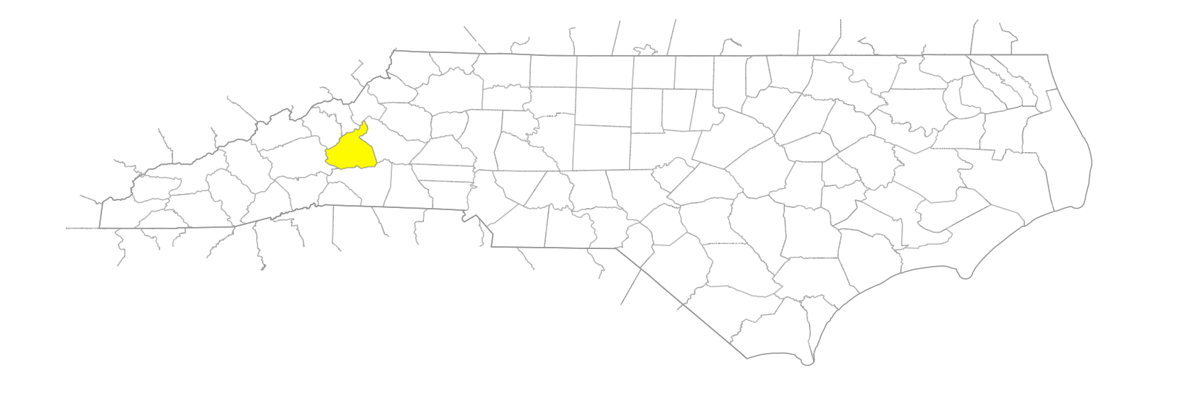
NC Gazetteer

McDowell County

… was formed in 1842 from Rutherford and Burke Counties. Located in the W central section of the state, it is bounded by Burke, Rutherford, Henderson, Buncombe, Yancey, Mitchell, and Avery Counties. It was named for Maj. Joseph McDowell (1758-96) of Pleasant Gardens, who fought at the Battle of Kings Mountain and was a member of Congress and of the commission to settle the North Carolina-Tennessee line. Area: 447 sq. mi. County seat: Marion, with an elevation of 1,437 ft. Townships are Brackett, Crooked Creek, Dysartsville, Glenwood, Higgins, Marion, Montford Cove, Nebo, North Cove, and Old Fort. Produces corn, soybeans, dairy products, livestock, hogs, poultry, hay, honey, machinery, textiles, hosiery, furniture, paper boxes, limestone, and gravel.

branches

Beatty Branch
Caney Branch
Conley Branch
Duck Branch
Hickory Bottom Branch
Long Branch
Long Branch
Mace Branch
Martin Branch
Pot Branch
Pups Branch
Rattlesnake Branch
Van Noy Branch

cities

Marion

communities

Ashford
Blalock
Clinchcross
Coleman
Craig
Curfew
Demming
Dendron
Double Springs
Dysartsville
Gaither
Glenwood
Graphiteville
Greenlee
Hankins
Kirksey
Little Mountain
Little Switzerland
Minersville
Moffitt Hill
Mountain Valley
Nebo
North Cove
Pheney
Phenoy
Pleasant Gardens
Providence
Sevier
Stone Mountain
Sugar Hill
Sunny Vale
Tom's Creek
Toms Creek
Vein Mountain
Woodlawn

coves

Turkey Cove

creeks

Armstrong Creek
Bartlett Creek
Bee Rock Creek
Bird Creek
Buck Creek
Cane Creek
Cane Creek
Clear Creek
Cow Creek
Cox Creek
Crooked Creek
Curtis Creek
Deerstand Creek
Firescald Creek
Forsyth Creek
Gilliland's Creek
Glades Creek
Hodges Creek
Jackson Creek
Jarrett Creek
Limekiln Creek
Little Buck Creek
Little Crooked Creek
Mill Creek
Newberry Creek
Nicks Creek
North Muddy Creek
O'Dear Creek
Paxton Creek
Pepper Creek
Rag Creek
Roses Creek
Sheehan Creek
Slim Creek
South Muddy Creek
Southeast Muddy Creek
Stillhouse Creek
Swannanoa Creek
Threemile Creek
Toms Creek

forests

Pisgah National Forest

forks

Bad Fork
North Fork [Catawba River]
Roaring Fork

former communities

Armstrong

gaps

Big Laurel Gap
Buck Creek Gap
Buck Gap
Deep Gap
Deerlick Gap
Flinty Gap
Gillespie Gap
Gooch Gap
Hazelnut Gap
Heffner Gap
Horse Trail Gap
Jackson Gap
Long Gap
Lynn Gap
McKinney Gap
Pot Cove Gap
Sourwood Gap
Swafford Gap
Swannanoa Gap

historical markers

Andrews Geyser historical marker
Cane Creek historical marker
Carson House historical marker
Cathey's Fort historical marker
Daniel Kanipe 1853-1926 historical marker
Frontier Fort historical marker
Pleasant Gardens historical marker

knobs

Bolin Knob
Conoway Knob
Dish Knob
Dobson Knob
Glass Rock Knob
Green Knob
Jackson Knob
Locust Knob
Pinnacle Knob
Silver Knob
Stony Knob
Wildcat Knob

lakes

Camp Grier Lake
Lake James
Lake Tahoma

mountain features

Locust Mountain, The
Margaret Peak
Nettle Patch
Three Knobs

mountain ranges

Hickorynut Mountains
Huntsville Mountains

mountains

Big Laurel Mountain
Cross Mountain
Dogback Mountain
Grassy Mountain
Graveyard Mountain
Graybeard Mountain
Green Mountain
Haines Eyebrow
Harris Mountain
Horse Mountain
Humpback Mountain
Mackey Mountain
Mount Ida
Pilot Mountain
Pinnacle Mountain
Rich Mountain
Turkey Mountain
Whiting Spur
Woods Mountain

points of interest

Andrews Geyser

populated places

Hildrup
Patton

proposed places

Portia

regions

Appalachian Dialect Region

ridges

Betsy Ridge
Bridle Ridge
Chestnut Ridge
Dutchman Ridge
Hensley Ridge
Pompey Ridge
Pups Ridge
Singecat Ridge
Timber Ridge
Witness Rock Ridge

rivers

Second Broad River
Swannanoa River

schools

McDowell Academy for Innovation
McDowell Early College
McDowell High School

towns

Old Fort

townships

Brackett Township
Crooked Creek Township
Dysartville Township
Glenwood Township
Higgins Township
Marion Township
Montford Cove Township
Nebo Township
North Cove Township
Old Fort Township

waterfalls

Catawba Falls