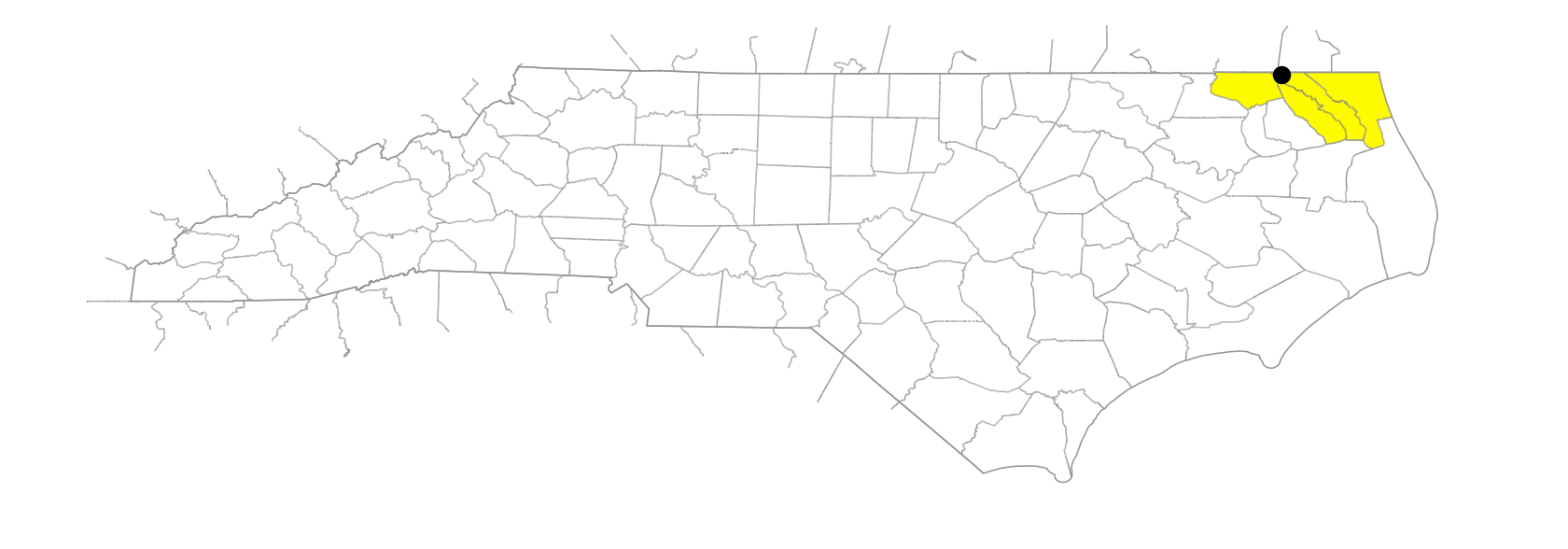
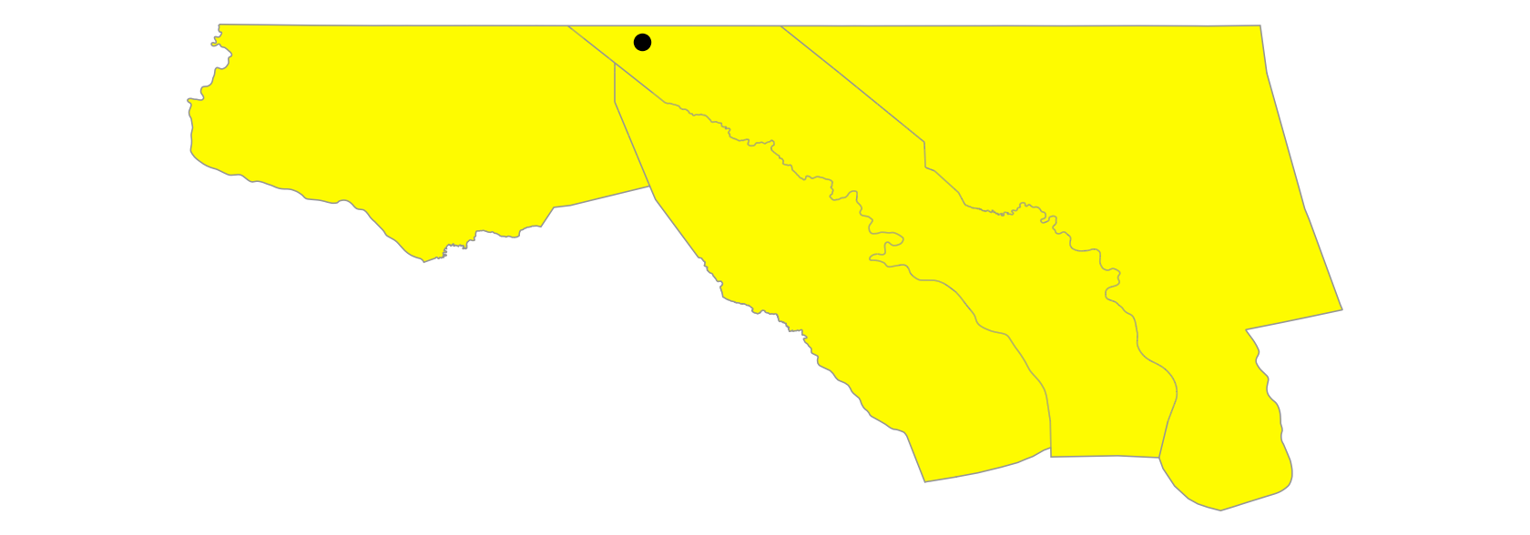
Dismal Swamp
Also known as: Great Dismal Swamp
… marsh, lake, and cypress-filled area approx. 30 mi. long and 10 mi. wide, largely in SE Virginia but partially in Gates, Pasquotank, Camden, and Currituck Counties. Appears on the Dudley map, 1647, as "Terra Bassa" (low land) and on the Comberford map, 1657, as "a swampy wilderness." Present name might have been known as early as 1715, when the term "dismal swamp" was applied to the Pasquotank County area by John Talbot in a letter to John Urmston, a missionary to the colony for the Society for the Propagation of the Gospel. Shown on the Moseley map, 1733, as Great Dismal Swamp (the name it is sometimes called today) and as Dismal Swamp on the Mitchell map, 1755. George Washington initiated surveys in 1763 for a canal. The Intracoastal Waterway now passes through the swamp. Also called The Desert in North Carolina.