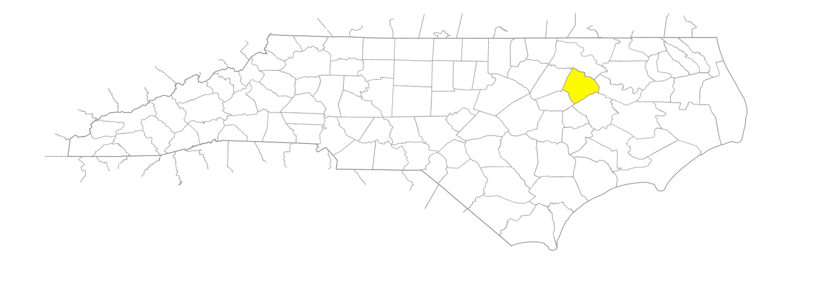
NC Gazetteer

Edgecombe County

… was formed in 1741 from Bertie County. Located in the E section of the state, it is bounded by Martin, Pitt, Wilson, Nash, and Halifax Counties. It was named for Richard Edgecumbe (1680-1758), afterward first Baron Edgecumbe, a member of Parliament, lord of the treasury, and holder of other political offices. Area: 511 sq. mi. County seat: Tarboro, with an elevation of 71 ft. Townships, now numbered 1 to 14, were formerly Tarboro, Lower Conetoe, Upper Conetoe, Deep Creek, Lower Fishing Creek, Upper Fishing Creek, Swift Creek, Sparta, Otter Creek, Lower Town Creek, Walnut Creek, Rocky Mount, Cokey, and Upper Town Creek. Produces tobacco, corn, soybeans, peanuts, cotton, sweet potatoes, cucumbers, hogs, livestock, textiles, baked goods, lumber, plastics, paper products, machinery, fabricated metals, and furniture.

areas

Redmans Old Field

branches

Beech Branch
Cowlick Branch
Deloach Branch
Sasnett Mill Branch

canals

Cromwell Canal

cities

Rocky Mount

communities

Bricks
Crisp
Doehead
Draughn
Epworth
Fountain Fork
Gethsemane
Hartsboro
Heartsease
Kingsboro
Lancaster
Mayos Crossroads
Medora
Mercer
Penelo
Pitt Crossroads
Red Hill
Shiloh Mills
Turnage
Webbs
Wiggins Crossroads
Wrendale

creeks

Bynum Mill Creek
Compass Creek
Conetoe Creek
Crisp Creek
Fishing Creek
Hendricks Creek
Suggs Creek

former communities

Cockey Township
Davistown
Deep Creek Township
Farrar
Henrietta
Lower Coneto Township
Lower Fishing Creek
Lower Town Creek Township
Otter Creek Township
Runnymede
Sparta Township
Tarboro Township
Upper Conetoe Township
Upper Fishing Creek Township
Upper Town Creek Township
Walnut Creek Township
West Tarboro

historical markers

Anna Easter Brown 1879-1957 historical marker
Brick School historical marker
Dred Wimberly historical marker
Elias Carr historical marker
Freedom Hill historical marker
George H. White 1852-1918 historical marker
Henry T. Clark historical marker
John C. Dancy 1857-1920 historical marker
John Spencer Bassett historical marker
Joseph Blount Cheshire, Jr. historical marker
Knights Of Labor historical marker
Martin Luther King Jr. 1929-1968 historical marker
Rural Electrification historical marker
Sanitation Workers' Strike historical marker
State V. Will historical marker
Thelonious Monk 1917-1982 historical marker
Town Common historical marker
W. D. Pender historical marker
W. L. Saunders historical marker
Washington's Southern Tour historical marker
Westray Battle Boyce Long historical marker
William R. Cox historical marker

historical sites

Bracebridge Hall

islands

Hemmed Island

lakes

Wiggins Lake

parishes

St. Mary's Parish

ponds

Nobles Mill Pond

populated places

South Rocky Mount

regions

Coastal Plain
Coastal Plain Dialect Region

runs

Harts Mill Run

schools

Acorn Hill School
Bellamy School
Bryan School
Chinquapin School
Coakley School
Dixon School
Dogtown School
Draughn School
Edgecombe Early College High
Harry Knight School
Hickory View School
Kingsboro School
Lancaster School
Lawrence School
Leggett School
Living Hope School
Logsboro No. 1 School
Logsboro No. 2 School
Marks Chapel School
Mount Olive School
North East Carolina Prep
North Edgecombe High
Pittman Grove School
Providence School
SouthWest Edgecombe High
St. Luke School
Tarboro High
Tarboro School
White's Chapel School
Willow Grove School (Current Site)
Willow Grove School (Original site)
Wimberly School

swamps

Cockey Swamp
Cokey Swamp
Etheridge Swamp
Halcher Swamp
Horn Beam Swamp
Little Cokey Swamp
Maple Swamp
White Oak Swamp

towns

Battleboro
Coakley
Conetoe
Lawrence
Leggett
Macclesfield
Mildred
Old Sparta
Penny Hill
Pinetops
Princeville
Sharpsburg
Speed
St. Lewis
Tarboro
Ucohnerunt
Whitakers

transportation-related places

Suggs Landing