Cape Hatteras
Also known as: Cape St. John, Cape Amidas
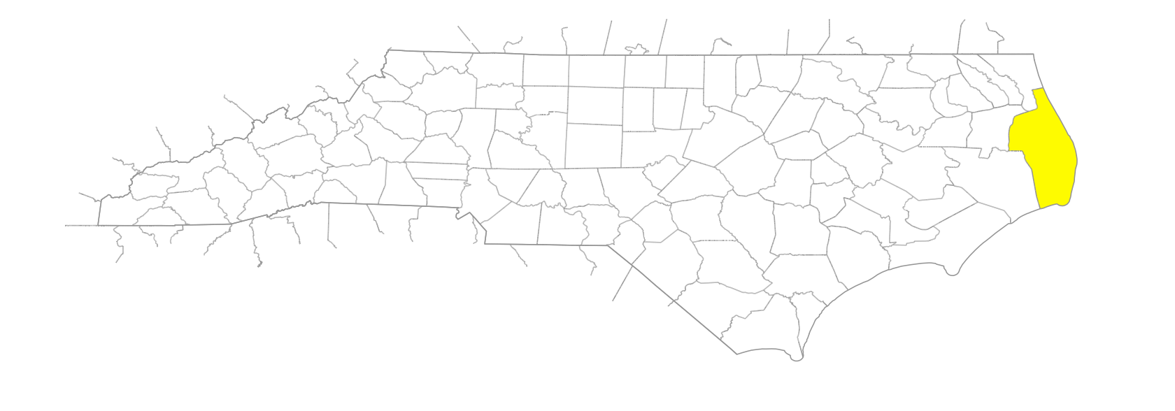
… the easternmost point in North Carolina, is at the S tip of Hatteras Island, SE Dare County. Diamond Shoals, extending into the Atlantic Ocean SE from the Cape, reach to the Gulf Stream at the notorious "Graveyard of the Atlantic." Called Cape St. John on the Velasco map, 1611; Cape Amidas on the Smith map, 1624; and its present name on the Ogilby map, 1671. The word "Hatteras" apparently is an English rendition of the Algonquian Indian expression of "there is less vegetation." Archaeological evidence indicates that the sixteenth-century Indian village of Croatoan may have been located there. See also various entries under Hatteras; Diamond Shoals.