Smith Island
Also known as: Landgrave Thomas Smith's Island, Bald Head, Barren Head, Cedar Island, Landgrave Smith's Island
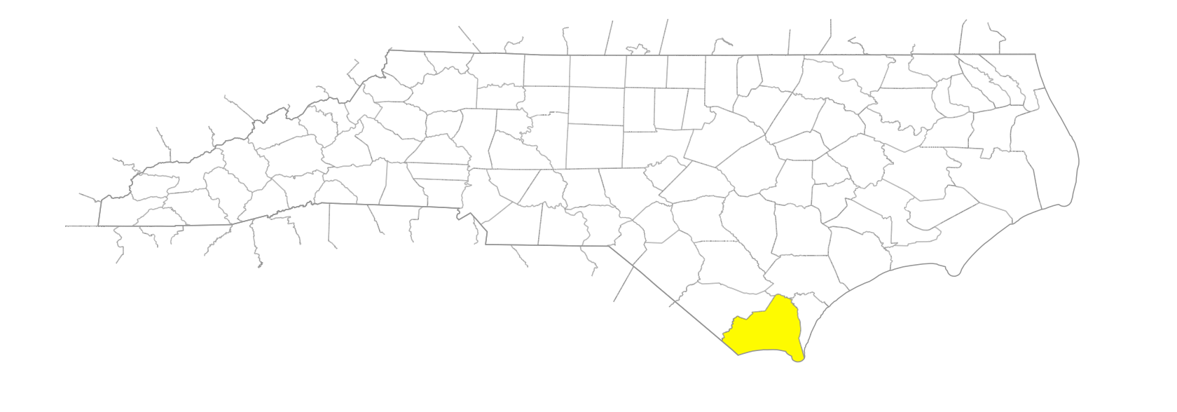
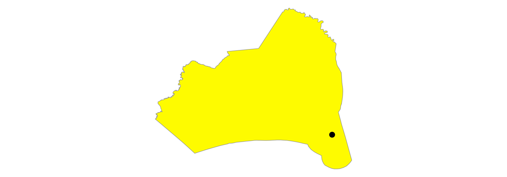
SE Brunswick County at the mouth of Cape Fear River and bounded on the N by Corncake Inlet. Also known as Bald Head Island. The SE tip is Cape Fear, and the SW portion is known as Bald Head because of its round, sandy surface. The island is approx. 17,000 acres in area and contains palmetto trees and other interesting vegetation and wildlife. Named for Landgrave Thomas Smith, who acquired it in 1690. Appears as Landgrave Thomas Smith's Island on the Moseley map, 1733, on which the present Bald Head is marked Barren Head. The Collet map, 1770, shows only "Bald Head." When Thomas Smith willed the island to his four sons in 1738, he said that its old name was Cedar Island. Scene of World War II training as auxiliary site of Camp Davis. Island developed in 1974. Access by ferry; no state-maintained roads or motorized traffic.


