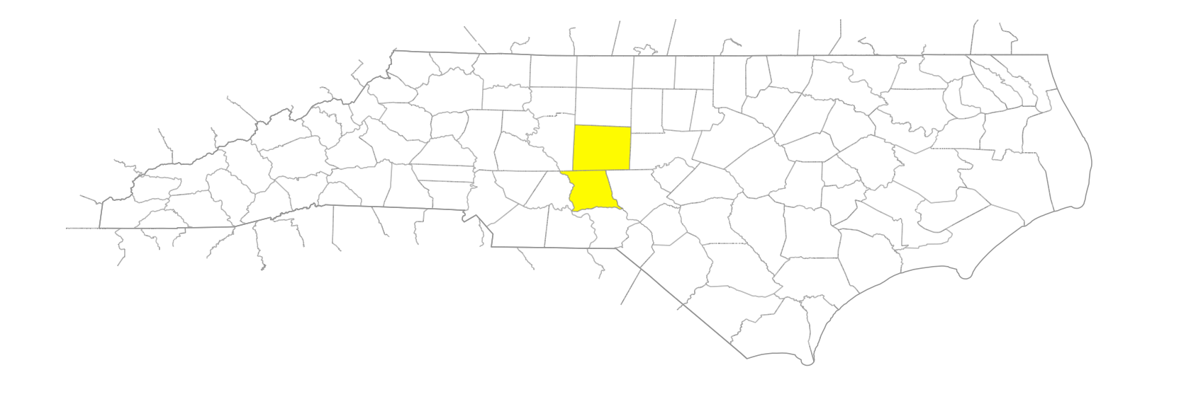
Uwharrie Mountains
Also known as: Heighwaree
… extend NE-SW across Montgomery, Randolph, and Stanly Counties. The Yadkin River flows through the SW end. Geologists describe the mountains as isolated, residual knobs that have resisted erosion and weathering better than the surrounding countryside. Probably formed several hundred million years ago by a number of explosive-type volcanoes. John Lawson visited the area in 1701 and used the name Heighwaree. Morrow Mountain State Park and Town Creek Indian Mound Historic Site are there. There are many named peaks, particularly in Montgomery and Randolph Counties. Alts. are not over 1,800 ft.

