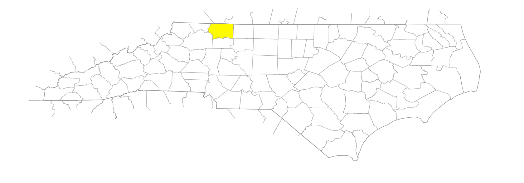
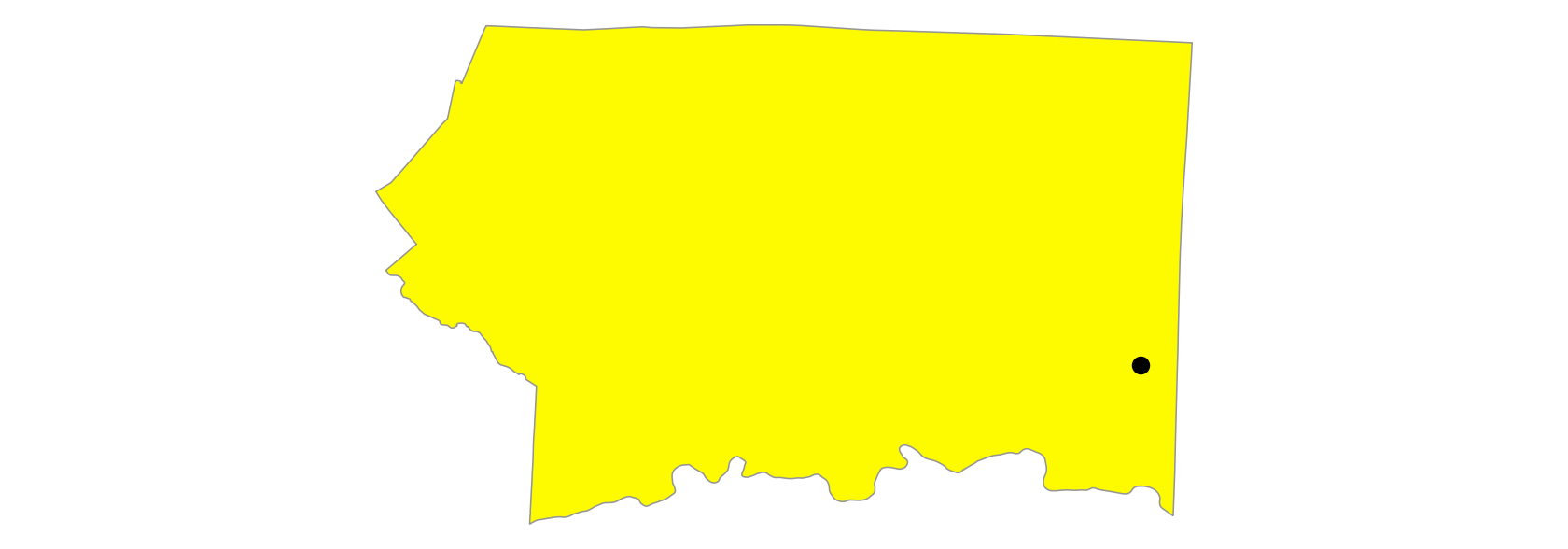
Pilot Mountain
Also known as: Jomeokee, Stonehead, Devil's Den, Mt. Ararat, Mount Ararat
SE Surry County. Alt. 2,700. The mountain is an isolated peak surviving from ancient mountains that have eroded away. The peak, classified as a monadnock, stands 1,500 ft. above the surrounding countryside; it served as a landmark for Indians and pioneer white settlers of the area. Appears as "Mt. Ararat or the Stonehead" on the Fry-Jefferson map, 1753, and as Mt. Ararat on the Collet map, 1770. The Price map, 1808, and subsequent maps show it with the present name. Called Jomeokee by the Indians, meaning "The Great Guide." The Devil's Den on Pilot Mountain is a small grotto from which a steady breeze blows at all times. See also Brushy Mountains.