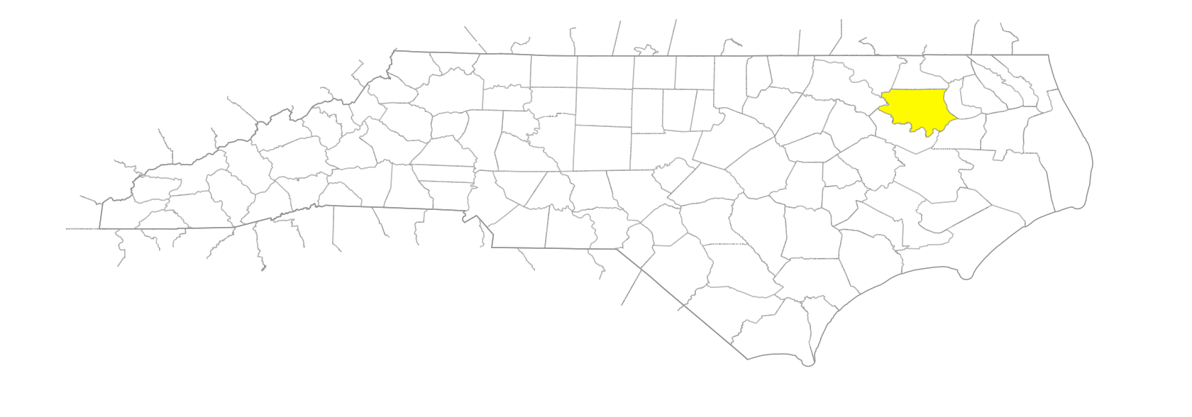
NC Gazetteer

Bertie County

… was formed in 1722 from Chowan County. Located in the NE section of the state, it is bounded by Albemarle Sound, Chowan River, and Washington, Martin, Halifax, Northampton, and Hertford Counties. Area: 721 sq. mi. Named for James Bertie (1673-1735), who held a proprietary share of North Carolina. His brother Henry (1675-1735) appears as a Proprietor in 1728, and it has often been said that the county was named for both men. County seat: Windsor, with an alt. of 10 ft. Townships are Colerain, Indian Woods, Merry Hill, Mitchells, Roxobel, Snake Bite, Whites, Windsor, and Woodville. Site of the home of Nathaniell Batts, first known permanent white settler in North Carolina, which was built by 1655. Produces tobacco, corn, soybeans, peanuts, cotton, hogs, sweet potatoes, poultry, seafood, and lumber. See also Society Parish.

bays

Batchelor Bay

bends

Conine Bend

branches

Bull Branch
Cabin Branch
Dunmoor Branch
Mill Branch
Miller Branch
Peele Branch
Willow Branch

canals

Broad Creek

communities

Avoca
Black Rock
Branning
Buena Vista
Burden
Butlers
Cahaba
Connaritsa
Cremo
Drew
Edenhouse
Ellis Store
Elmwood
Evansville
Exter
Glovers Crossroads
Goose Pond
Grabtown
Harrells Quarter
Hexlena
Holly Grove
Howard
Merry Hill
Mount Gould
Neal
Perrytown
Peterson
Quitsna
Republican
Rhodes
Rosemead
Sans Souci
Steels Ridge
Todds Crossroads
Trap
Wakelon
Whites Crossroads
Woodard

creeks

Brittons Creek
Broad Creek
Cashoke Creek
Chinkapin Creek
Chiska Creek
Choowatic Creek
Conine Creek
Coniott Creek
Currituck Creek
Flat Swamp Creek
Grinnell Creek
Hoggard Mill Creek
Roquist Creek
Salmon Creek
Stony Creek
Swamp Creek
Wading Place Creek

former communities

Bertie

freshwater areas

Devils Elbow

groups of islands

Purchace Islands

guts

Canal Gut
Thompsons Gut

historical markers

David Stone historical marker
Father Aaron Bazemore historical marker
Indian Woods historical marker
Naval Battle, 1864 historical marker
Roanoke River historical marker
Salmon Creek And Eden House: Seedbed Of The Colony historical marker
Scotch Hall historical marker
William Blount historical marker
Windsor Castle historical marker

historical sites

Bal-Gra
Batts House

islands

Conine Island
Goodmans Island
Great Island
Rice Island
Tabor Island
Wood Island

mills

Hoggard's Mill

Native American settlements

Indian Woods
Moratuc

necks

Cashie Neck

pocosins

Beaverdam Pocosin
Buckleberry Pocosin
Connaritsa Pocosin
Haw Pocosin
Hearts Delight Pocosin
Pell Mell Pocosin
Powells Pocosin
Roquist Pocosin
Wahtom Pocosin

points

Black Walnut Point
Edenhouse Point
Sandy Point
Terrapin Point

regions

Coastal Plain
Coastal Plain Dialect Region

rivers

Cashie River
Chowan River
Eastmost River
Middle River
Roanoke River

schools

Aulander School
Bertie Early College High
Bertie High School
Cashie School
Clarke's School
Kelford School
Merry Meta School
Mount Olive School
Roxobel School No.2
Sam's Chapel School
St. Francis School
Weeping Mary School

sounds

Albemarle Sound

swamps

Barbecue Swamp
Beaverdam Swamp
Blackwalnut Swamp
Broadneck Swamp
Connaritsa Swamp
Cricket Swamp
Cucklemaker Swamp
Eastmost Swamp
Frog Level Swamp
Loosing Swamp
Mill Swamp
Quinine Swamp
Quioccosin Swamp
Town Swamp
Wahtom Swamp
Whiteoak Swamp
Wildcat Swamp

towns

Askewville
Aulander
Colerain
Kelford
Lewiston
Powellsville
Roxobel
Windsor
Woodville

townships

Colerain Township
Indian Woods Township
Merry Hill Township
Mitchells Township
Roxobel Township
Snake Bite Township
Whites Township
Windsor Township
Woodville Township

transportation-related places

Coniott Landing
Hymans Ferry
Jordans Landing
Lumber Bridge
Mill Landing
Taylors Ferry
Thunderbolt Landing
Wellington

villages

Metocuuem
Ohanoak
Ooneroy
Resootskeh
Tandaquomuc