Albemarle Sound
Also known as: Roanoke Sea, Carolina River, Sea of Rawnocke, Albemarle River
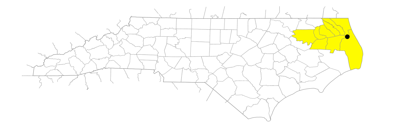
NE North Carolina, separated from the Atlantic Ocean by a part of the Outer Banks. Approx. 52 mi. long and 5 to 14 mi. wide. Max. depth 25 ft. Sea level; freshwater not affected by tide. Waters from the Chowan and Roanoke Rivers enter the sound on the w; it drains into Roanoke, Croatan, and Pamlico Sounds. Explored by Ralph Lane, 1586; known as Sea of Rawnocke (Roanoke Sea) in 1609. Appears as Roanoke Sound on the Comberford map, 1657. Known briefly in 1663 as Carolina River and appears as Albemarle River on the Locke map, 1671, and the Blome map, 1672. The John Barnwell map of about 1722 was one of the first to use the name Albemarle Sound. First permanent settlements in North Carolina were made along its N shore. Named after 1663 for George Monck, Duke of Albemarle, one of the Lords Proprietors of Carolina. See also Weapemeoc.