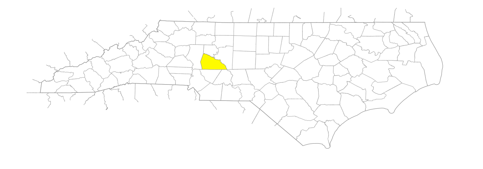
NC Gazetteer

Rowan County

… was formed in 1753 from Anson County. Located in the central section of the state, it is bounded by Davidson, Stanly, Cabarrus, Iredell, and Davie Counties. Named for Matthew Rowan (d. 1760), acting governor at the time the county was formed. Area: 527 sq. mi. County seat: Salisbury, with an elevation of 764 ft. Townships are Atwell, China Grove, Cleveland, Franklin, Gold Hill, Litaker, Locke, Morgan, Mount Ulla, Providence, Salisbury, Scotch Irish, Steele, and Unity. Produces corn, wheat, hay, nursery products, tomatoes, oats, cotton, poultry, dairy products, livestock, hogs, refrigeration equipment, bakery products, textiles, rubber products, chemicals, furniture, apparel, industrial machinery, millstones, trucking, taxidermy supplies, concrete products, and crushed stone.

branches

Gallows Branch, The

cities

Kannapolis
Salisbury

communities

Alpha
Barber
Bear Poplar
Cathey's
Craven
Crescent
Dukeville
Eli
Ellis Cross Roads
Franklin
Garfield
Goldknob
Harts
Heilig
Lentz
Liberty
Lipe
Lisk
Majolica
Manning
Millbridge
Miranda
Mitford
Mount Ulla
Mount Vernon
Needmore
Omega
Organ Church
Peeler
Phi
Pool
Pooletown
Rock
Rowan Mills
Russell
Saw
South River
Sumner
Sunnyside
Watsonville
Yadkin
Yost
Zeb

creeks

Beaverdam Creek
Cedar Creek
Coddle Creek
Coldwater Creek
Crane Creek
Deals Creek
Dutch Buffalo Creek
Flat Creek
Grants Creek
Irish Buffalo Creek
Kerr Creek
Little Buffalo Creek
Long Creek
North Second Creek
Reedy Creek
Riles Creek
Sills Creek
Sloans Creek
South Second Creek
Third Creek
Withrow Creek

districts

Wachovia

elevations

Heights of Gowerie

former communities

Island Borough

freshwater areas

Bullhole, The

historical markers

Andrew Jackson historical marker
Augustus Leazer historical marker
Catawba College historical marker
Christian Reid 1846-1920 historical marker
Confederate Prison historical marker
Francis Locke 1722-1796 historical marker
Gold Hill Mining District historical marker
Grace Or Lower Stone Church historical marker
Griffith Rutherford Ca. 1721-1805 historical marker
Harry Cowan 1810-1904 historical marker
J. E. K. Aggrey (1875-1927) Rose D. Aggrey (1882-1961) historical marker
John Steele historical marker
John W. Ellis historical marker
Joseph C. Price 1854-1893 historical marker
Knox Home historical marker
Lee S. Overman historical marker
Livingstone College historical marker
Matthew Locke historical marker
Maxwell Chambers House historical marker
Old English Cemetery historical marker
Old Stone House historical marker
Organ Or Zion Church historical marker
Prospect Church And Academy historical marker
Rural Free Delivery historical marker
Samuel E. McCorkle historical marker
Setzer School historical marker
St. Luke's Episcopal Church historical marker
Stoneman's Raid historical marker
Third Creek Church historical marker
Thyatira historical marker
Trading Ford historical marker
Trading Path historical marker
Washington's Southern Tour historical marker

lakes

Cannon Lake
High Rock Lake

mills

Macay's Mill

mountains

Dunn Mountain
Flat Swamp Mountain
Reids Mountain
Young Mountain

parishes

St. Luke's Parish

populated places

Salisbury West
South Salisbury

regions

Piedmont Crescent
Piedmont Dialect Region

rivers

South Yadkin River
Yadkin River

schools

Cleveland School
East Rowan High School
Henderson High School
Jesse C. Carson High School
North Rowan High School
Rowan County Early College
Salisbury High School
Salisbury School
South Rowan High School
West Rowan High School

towns

China Grove
Cleveland
East Spencer
Enochville
Faith
Gold Hill
Granite Quarry
Landis
Rockwell
Spencer
Woodleaf

townships

Atwell Township
China Grove Township
Cleveland Township
Franklin Township
Gold Hill Township
Litaker Township
Locke Township
Morgan Township
Mount Ulla Township
Providence Township
Salisbury Township
Scotch-Irish Township
Steele Township
Unity Township

transportation-related places

Trading Ford