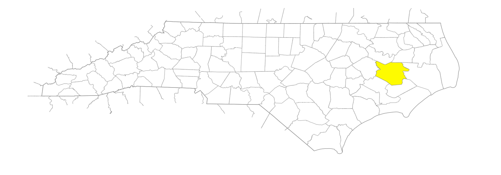
NC Gazetteer

Beaufort County

… was first called Pamptecough Precinct when it was formed in 1705 from Bath County; the name was changed to Beaufort about 1712 to honor Henry Somerset, Duke of Beaufort (1684-1714), who in 1709 became one of the Lords Proprietors. Located in the E part of the state, it is bounded by Craven, Hyde, Martin, Pitt, Pamlico, and Washington Counties. Area: 957 sq. mi. County seat: Washington, with an elevation of 11 ft. Townships are Bath, Long Acre, Chocowinity, Pantego, Richland, and Washington. Produces tobacco, corn, hogs, cattle, boats, air filters, soybeans, Irish potatoes, peanuts, wheat, oats, sorghum, cotton, canned seafood, lumber, and phosphate.

areas

Old Field
Woodstock Savanna

bays

Chocowinity Bay
Mixon Bay

beaches

Pamlico Beach

branches

Bay Branch
Brown Branch
Chapel Branch
Cindy Edwards Branch
Great Branch
Horse Branch
Joe Branch
Maple Branch
Massey Branch
Mitchell Branch
Pinelog Branch
Snoad Branch

cities

Washington

communities

Acre
Alfred
Alligoods
Bates
Bayview
Beckwith
Beechville
Bishops Cross
Blounts Creek
Bonnerton
Bunyan
Campbell's Creek
Durham's Creek
Everett's Crossroad
Gaylord
Gilead
Glenhaven
Godley Store
Hackney
Hall Swamp
Haslin
Hunters Bridge
Idalia
Jessama
Jones
Latham
Latham's
Leggetts Crossroads
Mimosa Shores
Mineola
Moores Beach
North Shores
Pike Road
Prescott
Pungo
Ransomville
River Acres
Riverside Park
Rover
Royal
Shady Banks
Sidney
Slatestone
Small
Spring Creek
Stallings Crossroads
Stilley
Summer Haven
Terra Ceia
Vinegar Hill
Walla Watta
Washington Heights
Wharton
White Post
Wilkinson
Wilmar
Winsteadville
Woolard Crossroads
Wootentown

coves

Shop Cove

creeks

Back Creek
Bailey Creek
Barris Creek
Bath Creek
Bear Creek
Blounts Creek
Bond Creek
Broad Creek
Broad Creek
Broomfield Swamp Creek
Calf Creek
Campbell Creek
Chicod Creek
Chocowinity Creek
Crooked Creek
Cuckolds Creek
Duck Creek
Durham Creek
East Branch Chicod Creek
East Fork Creek
Frying Pan Creek
Goose Creek
Hills Creek
Jack Creek
Jack Creek
Jordan Creek
Kennedy Creek
Latham Creek
Lees Creek
Little Creek
Little Creek
Little Ease Creek
Lona Creek
Lower Dowry Creek
Lower Spring Creek
Muddy Creek
Nevil Creek
North Creek
Pantego Creek
Porter Creek
Pungo Creek
Rice Creek
Rodman's Creek
Satterthwaite Creek
Schooner Creek
Scott Creek
Short Creek
Silas Creek
Smith Creek
Snodes Creek
South Creek
St. Clair Creek
Tooleys Creek
Tranters Creek
Upper Dowry Creek
Upper Goose Creek
Welch Creek
Whitehurst Creek
Wright Creek

forks

Banjo Fork

guts

Gar Gut

historical markers

African Americans Defend Washington historical marker
Alexander Stewart historical marker
Aquascogoc historical marker
Attack On Washington historical marker
Burning Of Washington historical marker
C. C. Cambreleng historical marker
Christopher Gale Ca. 1679-1735 historical marker
Colonial Bath historical marker
Daniel G. Fowle historical marker
Demille Family historical marker
Dr. Susan Dimock historical marker
Edmund Harding historical marker
Edward Teach historical marker
First Post Road historical marker
First Public Library historical marker
Fort Hill historical marker
Granville Grant historical marker
Historic Bath historical marker
James Adams Floating Theatre historical marker
John F. Tompkins historical marker
John Garzia Ca. 1690-1744 historical marker
John Gray Blount 1752-1833 historical marker
John H. Small 1858-1946 historical marker
Josephus Daniels historical marker
Lindsay C. Warren 1889-1976 historical marker
Matthew Rowan historical marker
Palmer-Marsh House historical marker
Port Of Bath historical marker
St. John The Evangelist Church historical marker
St. Thomas Church historical marker
Trinity Church historical marker
Trinity School historical marker

historical sites

Fort Hill

islands

Castle, The
Fork Point Island
Gaylords Island
Goose Creek Island
Indian Island
Reeds Hammock

parishes

St. Thomas’ Parish

parks

Goose Creek State Park

peninsulas

Rumley Marsh
Tarkiln Neck

plantations

Kirby Grange

pocosins

Bay City Pocosin
Big Pocosin
Big Pocosin
Blount Pocosin
Reedy Pocosin

points

Adams Point
Clark Point
Core Point
Fork Point
Fork Point
Garrison Point
Grassy Point
Haystack Point
Hickory Point
Hills Point
Long Point
Mauls Point
Rodman's Point
Tooleys Point
Tyndall Point
Wades Point
Woodstock Point

precincts

Pamptecough Precinct

regions

Coastal Plain
Coastal Plain Dialect Region
Outer Banks Dialect Region

ridges

Chinquapin Ridge

rivers

Pamlico River
Pungo River
Tar River

runs

Aggie Run
Cherry Run
Cypress Run
Deep Run
Gum Swamp Run
Herring Run
Indian Run
Morris Run
Orris's Run
Piney Grove Run

schools

Beaufort County Early College High
Educational Technical Center
Leechville School
Northside High School
Pantego School #1
Pantego School #2
Riverroad School
Southside High School
Ware Creek School
Washington High School
Washington Montessori

swamps

Beaverdam Swamp
Broad Swamp
Creeping Swamp
East Dismal Swamp
Great Swamp
Gum Swamp
Gum Swamp
Harding Swamp
Hell Swamp
Horsepen Swamp
Jackson Swamp
Juniper Swamp
Old Ford Swamp
Pantego Swamp
Pollard Swamp
Singleton Swamp

towns

Aurora
Bath
Belhaven
Chocowinity
Edward
Leechville
Pantego
Pinetown
South Creek
Washington Park
Yeatesville

townships

Bath Township
Chocowinity Township
Long Acre Township
Pantego Township
Richland Township
Washington Township

transportation-related places

Davis Landing
Devils Elbow Landing
Dinah Landing
Elbow Landing
Hoophole Landing
Indian Landing
Piney Grove Landing
Sandy Landing
Sawyers Landing

villages

Panauuaioc
Seco
Secotan

waterways

Ditch, The